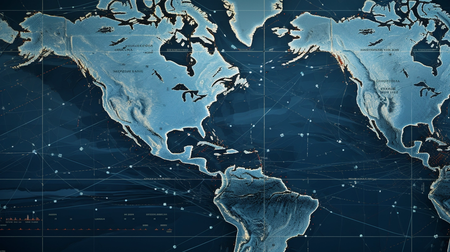
Introducing Bosun’s Water Check API
It is the definitive tool for detecting water at any latitude and longitude. Designed with developers, geographers, and geospatial enthusiasts in mind, our API is tailored to deliver accuracy without the complexity.
Why it Stands Out:
- User-Friendly Design: Our API is structured to be intuitive, making it easy for developers of all experience levels to integrate and use.
- Top-Notch Accuracy: In the world of geospatial data, precision is crucial. With Bosun’s Water Check, you’re equipped with a reliable tool that offers pinpoint water detection.
- Comprehensive Data: Beyond mere water detection, our API provides valuable information on the corresponding OpenStreetMap (OSM) tile for your specified coordinates.
- Hosted on RapidAPI: Benefit from a seamless setup experience and dependable uptime. Our presence on RapidAPI ensures that your projects have the support they need.
Versatile Use Cases:
Our API isn’t just about mapping. Its versatility shines across multiple scenarios:
- Route Planning: Are you developing a routing app or system? Bypass water bodies efficiently and enhance route accuracy.
- Maritime Games: Game developers can inject real-world geographical accuracy into their maritime-themed projects.
- Visualization Projects: For those creating visual graphics or simulations, our API aids in distinguishing land from water seamlessly.
- Geospatial Analysis: Whether you’re an enthusiast or a professional, elevate your mapping projects with our precise water detection, regardless of your chosen platform.
End-to-End Data Solutions:
Our API isn’t just another tool – it’s a comprehensive solution. From basic water detection to detailed tile information, we’ve got you covered.
Anchor Your Projects
In the vast ocean of geospatial information, having a reliable partner is invaluable. Bosun’s Water Check ensures that every geospatial venture you undertake is backed by precision and reliability. With our API, you’re not just accessing data – you’re ensuring your projects stand out in terms of accuracy and innovation.
Ready to redefine your geospatial endeavors? Dive into the world of precision with Bosun’s Water Check API today. Your journey towards enhanced geospatial analysis awaits!